Last reviewed
Background
Eastern Tibet unfolds here through river gorges, pasture and historic exchange routes.
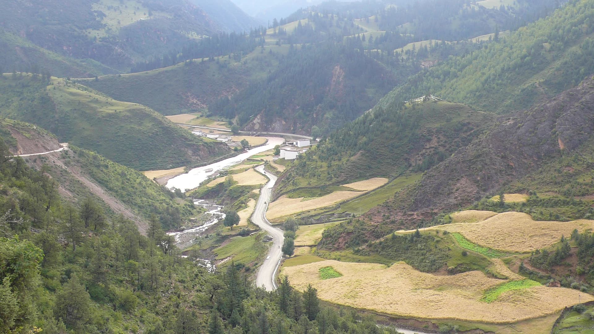
The southern Chamdo corridor follows G318 through Mangkang, Bangda, Baxoi and Ranwu, crossing several great river systems and dramatic changes in elevation. The source presents these places as a single driving stage, but their landscapes and communities deserve several daylight travel days.
Mangkang’s position near routes linking Sichuan, Yunnan and Tibet reflects the long movement of tea, salt, livestock, religion and people across the eastern plateau. Farther west, open grassland gives way to the engineered descent toward the Nujiang and then the mountain basin around Ranwu Lake.
Recommended itineraries
Recommended itineraries
This route is for travelers already operating through a licensed Tibet itinerary with confirmed permits, driver and current road plan.
Mangkang to Ranwu without a marathon drive
A safer division of the old guide’s single punishing stage across southern Chamdo.
- Day 1 · Enter Mangkang under the approved route, learn the tea-horse-road context and try jiajia noodles; confirm the next day’s road notice.
- Day 2 · Continue through the corridor toward Bangda or Baxoi, using designated stops on the grassland and allowing the licensed driver full daylight for the Nujiang descent.
- Day 3 · Reach Ranwu Lake, walk only managed or clearly permitted shore areas and stay flexible if weather or traffic controls alter the schedule.
Attractions & practical tips
What to see—and how to approach it.
Mangkang tea-horse corridor
芒康茶马古道
Mangkang stands at a historic eastern gateway where routes from Sichuan and Yunnan converge among deep valleys and agricultural settlements.
Practical tips
- Use a licensed local guide to distinguish surviving route history from modern roadside storytelling.
- Do not enter border-controlled, industrial or village areas outside the approved itinerary.
Bangda Grassland
邦达草原
A high, open pastoral landscape around a major road junction, with broad views replacing the enclosed valleys farther east.
Practical tips
- Bangda is high and exposed; keep stops short if you are not fully acclimatized and carry windproof layers.
- Stay off grazing land unless access is clearly allowed and never block the road for a photograph.
Nujiang Seventy-Two Bends
怒江七十二拐
A celebrated sequence of switchbacks descending from the high pass toward the Nujiang valley, impressive as road engineering rather than an adventure challenge.
Practical tips
- Remain with the licensed vehicle and stop only at official or clearly safe viewpoints; never walk into the carriageway.
- Weather and traffic controls override the itinerary, and the driver—not photography goals—sets the pace.
Ranwu Lake
然乌湖
A long mountain lake system near Ranwu, where water color, reflection and shoreline change with season, weather and sediment.
Practical tips
- Choose one accessible shoreline area rather than following old dirt-road instructions around the lake.
- Do not walk on ice, cross barriers or approach unstable slopes and glacier-fed channels.
Food & dining
Eat with a little local context.
Southern Chamdo road meals are practical and warming; Mangkang contributes one especially memorable noodle ritual.
Jiajia noodles
加加面
Small bowls of noodles are replenished repeatedly with broth and toppings, turning a simple Mangkang meal into a sociable sequence.
Try it this way: Ask how the bowl-counting custom works, state dietary needs before the first serving and stop when comfortably full.
FAQ
Questions worth answering before you go.
Can international visitors travel this corridor independently?
Do not assume so. Foreign travelers need the appropriate approved itinerary and documentation, and travel agencies handle group reception plans where restricted areas are involved. Confirm the exact current process with a licensed operator before booking transport.
How many days should I allow between Mangkang and Ranwu?
At least three daylight travel days is a more responsible baseline than the source’s single long stage. Add buffer for road controls, weather, rest and unplanned overnight changes.
What is the main altitude concern?
The route repeatedly climbs to high passes and high sleeping locations. Ascend gradually, keep exertion light during early high-altitude days and do not continue upward when symptoms are worsening.
Can the daily road plan change after departure?
Yes. Construction, rockfall, snow, rain and controlled traffic releases can all alter timing. Follow transport-authority notices and the licensed driver’s decision instead of the old guide’s distances and speed assumptions.
What should I avoid photographing?
Follow explicit local and security restrictions, and ask before photographing people, worship or private homes. Never photograph checkpoints or controlled infrastructure, and do not treat funeral practice as a visitor attraction.