
Last reviewed
Background
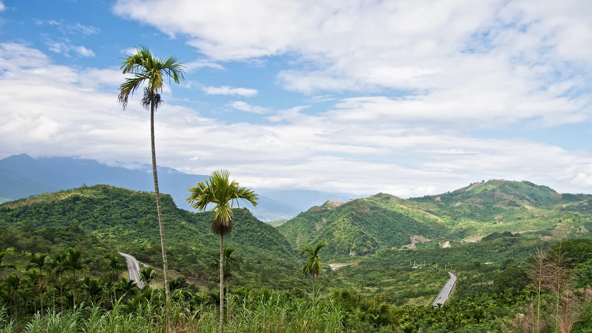
A narrow east-coast landscape where mountains rise sharply beside the Pacific.
Hualien County occupies a dramatic strip between the Central Mountain Range and the Pacific. Beaches of stone, steep cliffs, river valleys and earthquake-shaped mountains make the scenery powerful but geologically active, so road, trail and weather checks are fundamental parts of planning.
Hualien City is the practical rail and service base for northern coastal and mountain trips. Hoklo, Hakka and Indigenous communities, including Amis and Truku people, contribute distinct food, language and cultural life; visitors should seek community-led interpretation and avoid the source's generalized descriptions.
Recommended itineraries
Recommended itineraries
Keep the coast and city useful even when mountain access changes, and never build the trip around a closed Taroko landmark.
Hualien coast and city
A resilient first route that does not depend on full Taroko Gorge access.
- Day 1 · Walk Hualien's public waterfront, explore the central city and finish with a food circuit focused on wontons, rice dishes or Indigenous vegetables.
- Day 2 · Visit Qixingtan and one currently open northern-coast viewpoint or managed trail, using official transport and keeping away from dangerous surf and cliff edges.
Open landscapes only
A flexible plan that adds national-park context only where official access is confirmed.
- Day 1 · Hualien City, Pacific waterfront and local food.
- Day 2 · Qixingtan and a safe, officially open coastal or cycling section.
- Day 3 · Check Taroko National Park's same-day road and trail notices; visit only an explicitly open area, or substitute another official Hualien route if gorge access remains restricted.
Attractions & practical tips
What to see—and how to approach it.
Qixingtan
七星潭
A sweeping crescent of pebble shore north of Hualien City, Qixingtan opens directly to the Pacific with mountain views and a developed coastal cycling corridor.
Practical tips
- Treat it as a viewing shore, not a casual swimming beach; waves and steep drop-offs can be dangerous.
- Do not remove or stack stones, and stay back during high surf, typhoons or official closures.
Qingshui Cliff
清水断崖
The Central Mountain Range falls sharply into the Pacific along this northern Hualien coast, exposing a dramatic meeting of marble, forest and deep blue water.
Practical tips
- Use only official open viewpoints or trails and check road conditions before departure.
- Never stop on an unsafe road shoulder or cross barriers; rockfall and earthquake risk are real.
Taroko National Park
太鲁阁国家公园
Marble gorges, steep tributaries and Truku cultural landscapes make Taroko internationally significant, but the 2024 earthquake and later storms caused severe, long-term damage.
Practical tips
- As reviewed in July 2026, major gorge sights and trails still have closures or restricted access; check the park's official Roads & Trails notices immediately before travel.
- Never enter a closed trail or stop beneath unstable cliffs, and use an alternative Hualien plan when authorities advise against entry.
Hualien Pacific waterfront
花莲太平洋滨海
Parks and paths along the city-facing shore offer an accessible look at the Pacific and connect with longer cycling routes when sections are open.
Practical tips
- Choose a short daylight walk or ride, stay on marked paths and yield to pedestrians.
- Avoid seawalls and exposed shore sections during strong wind, heavy rain or high-wave warnings.
Hualien city center
花莲市区
The compact center provides markets, small museums, everyday food and practical services between coastal and mountain outings.
Practical tips
- Use the city as more than a transit stop and leave room for local businesses after weather disrupts outdoor plans.
- Confirm the current location and schedule of night-market activity rather than following the PDF's obsolete market names.
Food & dining
Eat with a little local context.
Hualien food brings together east-coast produce, rice, seafood and the cooking traditions of several communities. Choose respectful, clearly sourced businesses and avoid treating Indigenous ingredients as novelty.
Hualien wontons
花莲扁食
Large pork-filled wontons served in a clear broth are one of the city's best-known simple meals.
Try it this way: Confirm pork, shrimp and sesame ingredients and let the filling cool before eating.
Tube rice cake
筒仔米糕
Seasoned sticky rice is steamed in a small mold and topped with braised pork or sauce, often paired with soup.
Try it this way: Ask about pork, mushrooms, peanuts and seafood toppings before ordering.
Hualien mochi
花莲麻薯
Soft glutinous-rice sweets with bean, sesame or peanut fillings are a familiar local snack and gift.
Try it this way: Buy a small fresh portion, check allergen fillings and consume it promptly.
Sweet potato and taro cakes
花莲薯与花莲芋
Soft baked sweets filled with sweet potato or taro reflect the east coast's agricultural gift tradition.
Try it this way: Check shelf life and ingredients before packing them for onward travel.
Indigenous greens and grains
原住民野菜与杂粮
Community cooking may feature cultivated greens, millet, rice and seasonal plants prepared through distinct Amis, Truku or other traditions.
Try it this way: Choose community-led or clearly attributed restaurants and ask about the specific people and ingredients represented.
FAQ
Questions worth answering before you go.
How many days should I spend in Hualien?
Two days covers the city and a safe coastal outing. Add a third day for another county route or an officially open national-park area, keeping weather flexibility.
Is Taroko Gorge fully open?
No. As of the July 2026 review, severe earthquake and storm damage still affects major gorge sights, trails and transport. Check the official park notices immediately before travel and enter only explicitly open areas.
Can I swim at Qixingtan?
Treat Qixingtan as a scenic pebble coast rather than a swimming beach. Sudden waves, a steep seabed and strong currents make entering the water dangerous.
Do I need private transport?
Not for the city and some official routes, but county transport is limited and disruption is possible. Use current rail and legal bus information, and verify any licensed driver and insurance.
How should I plan around earthquakes and storms?
Follow official alerts, avoid cliffs and rivers after heavy rain or shaking, keep an urban alternative and never cross a road or trail closure. Allow extra time for rail and road disruption.